Lac Claude Historical Society
Keepers of the record · such as it is
Historic site

Lac Claude

Beechworth, Victoria · 36° 21′ S, 146° 42′ E
Balaclava Road Havelock Road Alma Road Railway, 1891 (no station) Golf Course rail trail 4653 9 AA Sign Plan of Lac Claude soundings in feet 03 chains N
Plate ISurveyor's plan, with soundings.
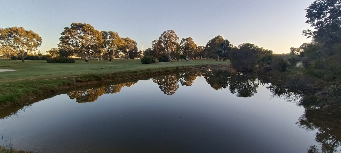
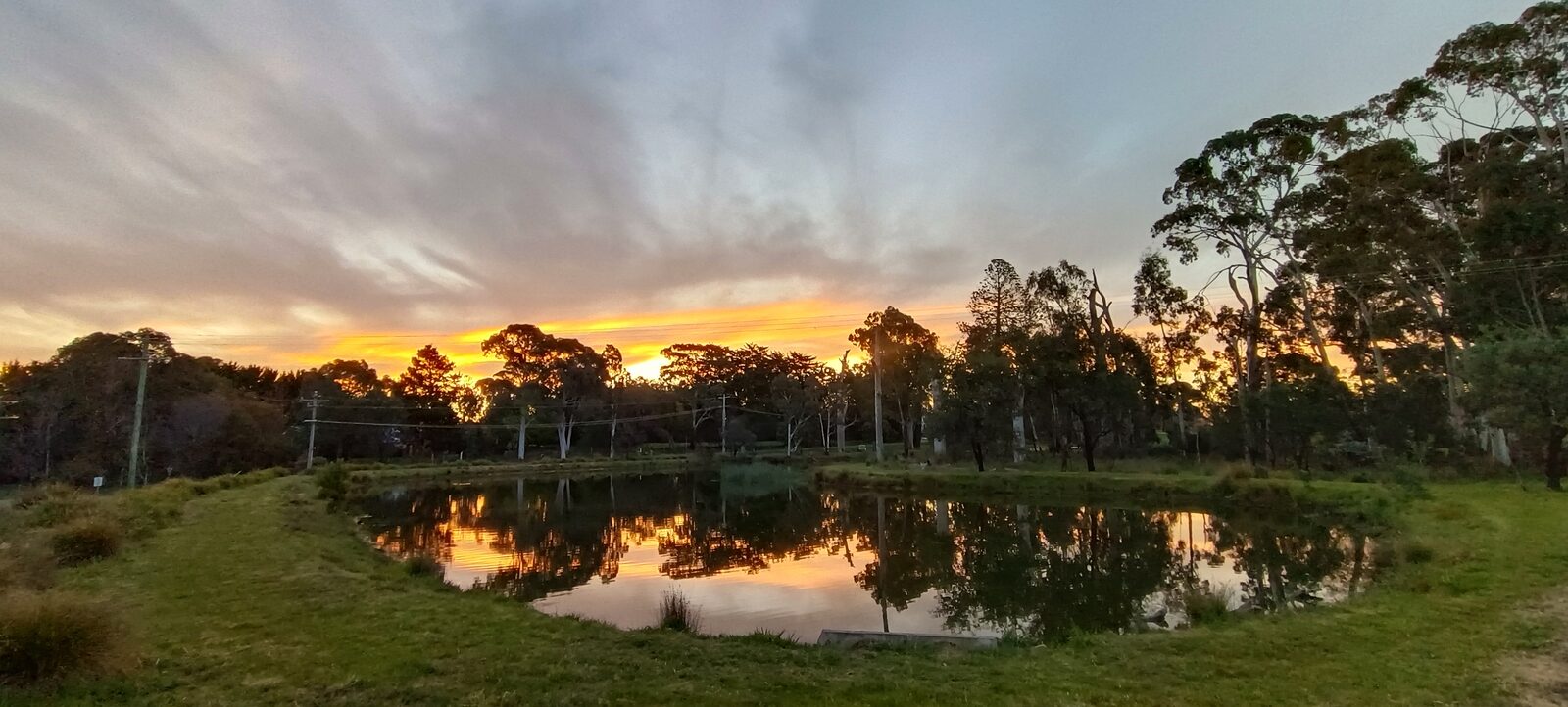
Lac Claude at sunset, looking west: eucalypts in silhouette against an orange sky, reflected in still water, with mown grass in the foreground
Plate IIThe lake at sundown, looking west.Photograph by the Society.
I · The origin of the name

Particulars of the lake

Analysis of the water

II · Survey and specification

The lake, measured

Two drawings from the Society's plan chest. The Society stands by the soundings. It does not stand at C.

Section A to A through Lac Claude, from the Balaclava Road side to the old railway embankment, showing the water surface at about 1,860 feet above the sea, the lake bed with soundings, and the strata beneath: silt, golf balls and granite 1,8651,8601,8551,8501,845 feet AA Balaclava Road side Rail trail (old Yackandandah line, 1891) Surface, about 1,860 ft (566 m) above the sea 2453 Deepest sounding, 9 ft Water Silt, historical Golf balls, various years Granite, assumed Level reached by the sounding line, 1964 (disputed) Section A to A heights in feet above the sea vertical scale exaggerated twelve times 3 ch.
Drawing No. 1Section A to A, along the line marked on Plate I, with soundings in feet. The deepest sounding is the one given in the Particulars.
A patent-style specification drawing of the structure in Plate IX: an elevation of a pyramid of tubes on a square base, a plan with a circle of supposed field, a detail of the apex node with a standing wave, a column of equations, and numbered notes, none of which states what the structure is for Specification No. 1: An Arrangement of Tubes for a Waterside Site Sheet 1 of 1. Found among the Society's papers. Inventor not recorded. 10121416 DC Fig. 1. Elevation field (theoretical) Fig. 2. Plan Q, conserved standing wave (assumed) Fig. 3. Detail at 16 ω₀ = 1 ∕ √(L C) E(t) = E₀ sin (ωt + θ) ∮ E · dl = − dΦ ∕ dt h : b = 1 : 1.272 λ = 4h, approximately Q (at C) = Q (at D) Notes 1. The arrangement has no moving parts. 2. Earth return at D. 3. Resonance with the adjoining water is not claimed. 4. The quantity at C is conserved, or appears to be. 5. Do not stand at C during rain.
Drawing No. 2Specification for an arrangement of tubes, after Plate IX. The Society did not draw it and cannot say who did. It was filed under P, for pyramid, which the Society does not call it.
III · From the recollections of residents
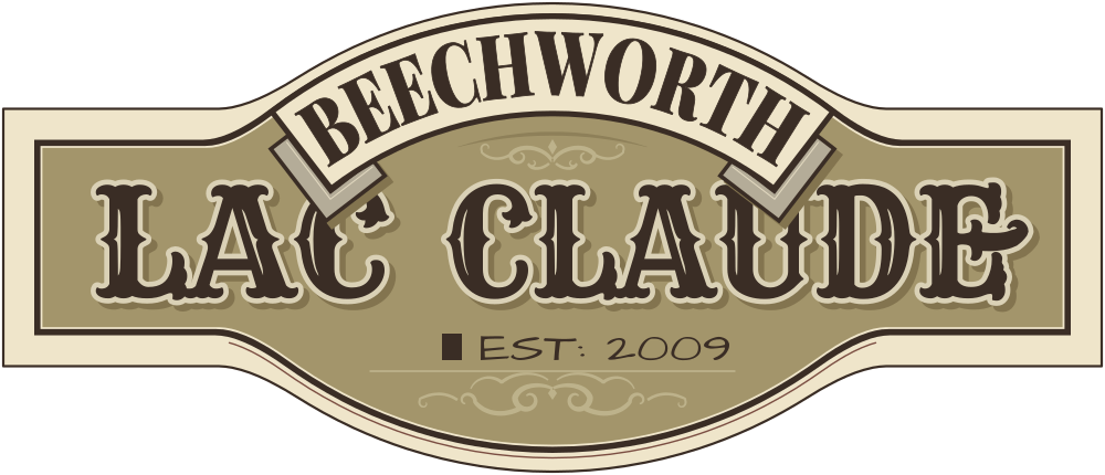
The new Lac Claude sign: a cream and khaki plaque with a ribbon reading Beechworth, the words Lac Claude in dark circus lettering, and Est: 2009
Plate IIIThe new sign, awaiting installation.
IV · The sign

The standing record, and its successor

The old sign stands on the southern bank, near Havelock Road. It is the only document the Shire has ever cited on the matter of the name. The Society keeps it clean and does not add to it.

A new sign has been made and will be installed. The old sign has been told.
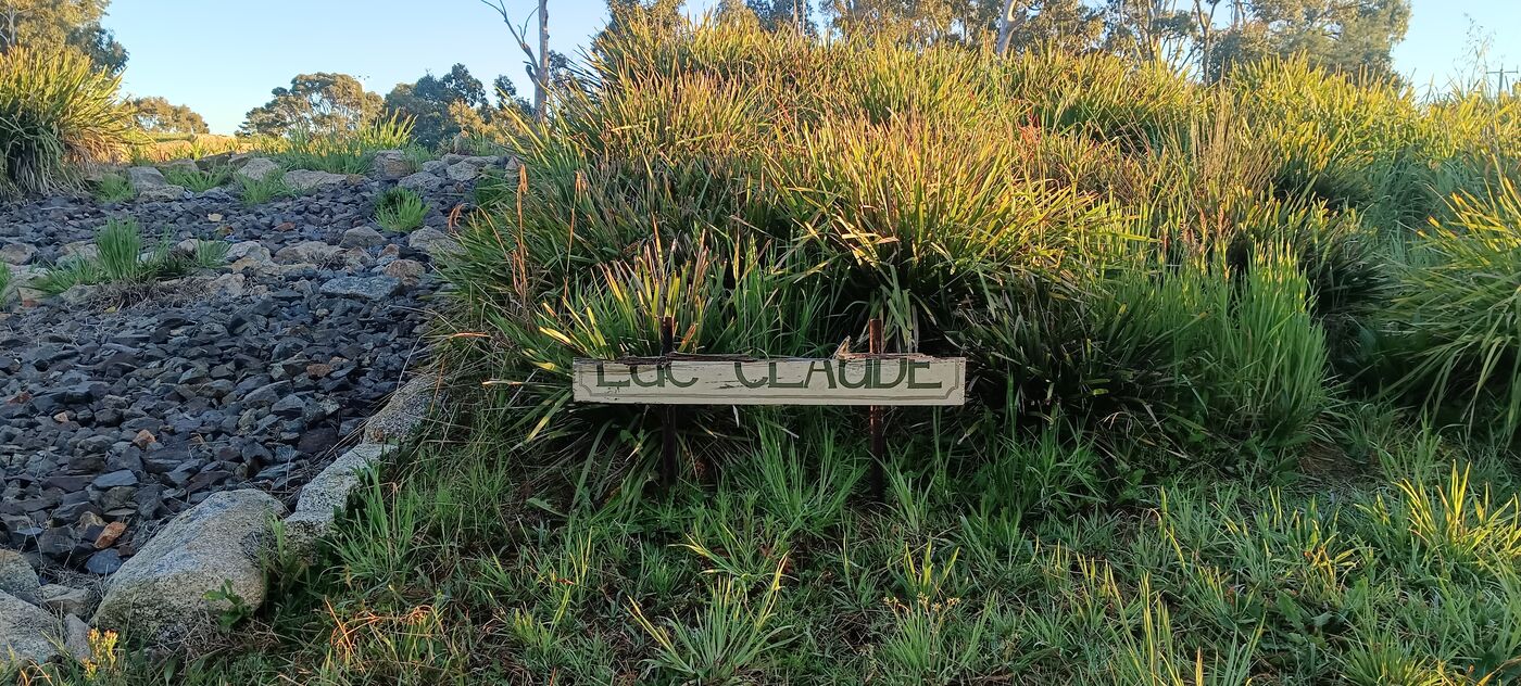
The old sign: a weathered wooden board reading Lac Claude in faded green letters, on two stakes in long grass beside a bank of stones
Plate IVThe old sign, southern bank. It is weathered, and the Society regards this as evidence of long service.Photograph by the Society.
V · Chronology

Events at the lake

Entries marked † are on the public record.

    VI · From the archive

    Beechworth, as the lake saw it

    A selection from the Society's archive, drawn afresh for each visitor. Select any plate to enlarge it and zoom in. Notes from the Society are marked in gold, and do not always agree with the image.

    VII · Calendar of events

    Forthcoming at the lake

    All events weather permitting. The wet-weather venue is the Buffaloes' Hall, Ford Street.

    Event Today
      VIII · Finding the lake

      Visiting Lac Claude

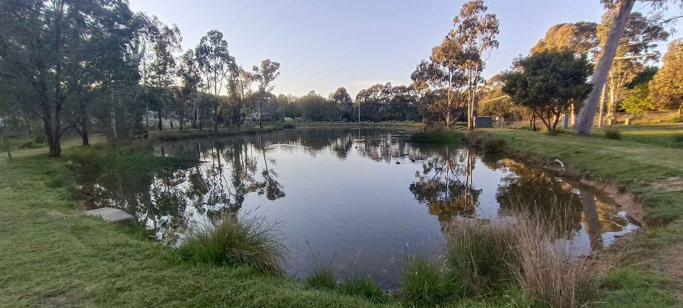
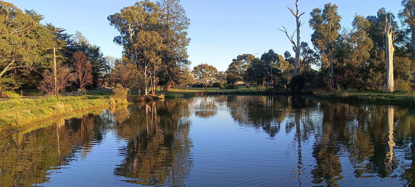
      The lake sits beside the Beechworth Golf Course, on the edge of town, in the granite country of north-east Victoria. Beechworth is one of the best-preserved gold towns in the state, with 32 buildings listed by the National Trust. The lake is not one of them, yet. The sign is on the southern bank. Visitors are welcome at any hour, and the lake has never been known to close.

      Golfers are asked not to wade in after their balls. The lake considers them part of the collection.

      Havelock Road is named in honour of Sir Henry Havelock, a British general. Alma Road is named after the Battle of the Alma, fought in the Crimean War on 20 September 1854. Balaclava Road, the Society assumes, would not be left out.

      © OpenStreetMap contributors
      By the instruments
      Latitude
      36° 21′ 11.6″ S
      Longitude
      146° 41′ 56.1″ E
      Altitude
      About 1,860 feet (566 metres) above the sea. The Society measures from the top of the sign.
      Grid square
      QF33ip, for wireless operators
      Geohash
      r3834nnud
      Other methods of finding
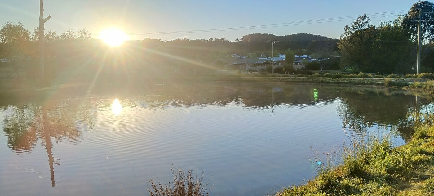
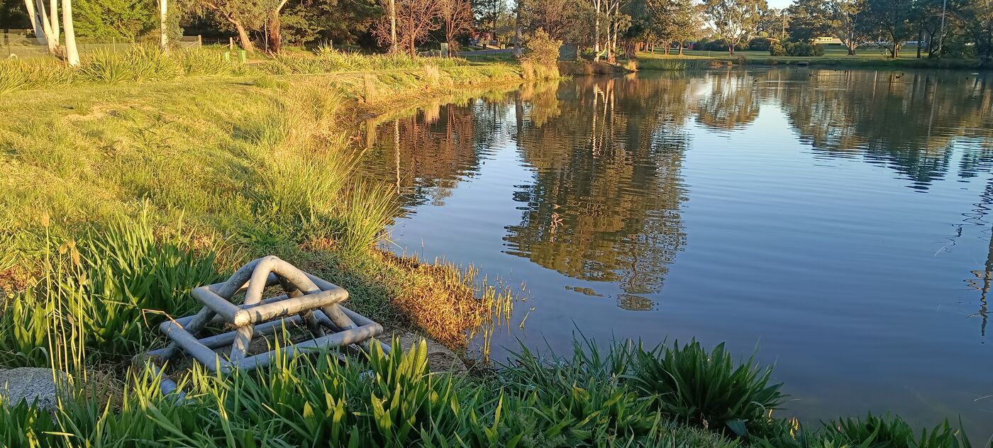
      A low sun over the lake, with its reflection on the water, houses on the far bank and Red Hill beyond
      Plate VLow sun on the water, with Red Hill beyond. Photograph by the Society.
      IX · Sightings elsewhere

      The lake, as recorded by others

      Cuttings from other publications that mention the lake, as filed by the Society. The Society is not responsible for where they lead.

      Cutting No. 1
      Komoot · Walking route

      Lac Claude – The Precipice loop from Beechworth

      A 13.6 km walk. Lac Claude is the first waypoint, at 3.55 km.

      The route reaches the lake after 3.55 km and spends the next ten leaving it. The Society has written to the Precipice.

      Cutting No. 2
      Komoot · Road ride

      Lac Claude loop from Beechworth

      A 25.4 km ride. Lac Claude is the first waypoint, at 1.91 km.

      Cyclists pass the lake in the first two kilometres and are not seen again for twenty-three.

      Cutting No. 3
      AllTrails · Point of interest

      Lac Claude, Beechworth

      Listed as a point of interest in Beechworth.

      Every trail on the page leads somewhere else. The Society has noted each of them.

      Cutting No. 4
      Motels Area · Accommodation

      Golden Heritage Accommodation, Beechworth

      “The hotel is nestled 1.3 km from Lac Claude.”

      The Society regards 1.3 km as close enough to count. It has not been offered a room.

      Cutting No. 5
      Google · Map listing

      Lac Claude

      Listed by Google as a place in Beechworth.

      Google offers directions from anywhere in the world. The Society has checked, and every one of them ends at the lake.

      Cutting No. 6
      OpenStreetMap · Map

      Lac Claude

      Mapped as a lake beside the Beechworth Golf Course.

      The first record of the lake that the Society did not have to write itself.

      Public notice

      Not to be confused with

      the several lakes in Quebec, Canada, that also call themselves Lac Claude.

      The Society has no connection with any of them. None has produced a sign, a hippopotamus or a telegram, and their origins are, as far as the Society can tell, unrecorded. The Society has written to each of them asking how they came by the name. None has replied, in either language.

      The Society draws its own conclusions, and returns their letters unopened. The Lac Claude on this page is in Beechworth, Victoria, Australia. It is the one with the sign.